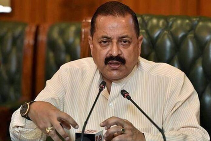
According to media sources, Science and Technology Minister Dr Jitendra Singh has said that the government is using Geospatial data to improve public service delivery. Dr Singh said this while addressing the 13th United Nations Global Geospatial Information Management, Asia-Pacific Plenary and Regional Conference at Bharat Mandapam in New Delhi today. He said, the Geospatial data and digital platforms are being integrated with other digital governance systems which help in improving transparency, accessibility and providing data driven insights for better decision making. The Minister said, the Government has taken several steps to bring reforms in the Geospatial sector and it has brought National Geospatial policy. Dr Singh stressed that under the leadership of Prime Minister Narendra Modi India is committed to strengthen the Asia Pacific region’s geospatial capabilities.
India is hosting the four-day Conference at Bharat Mandapam. Ninety international delegates from 30 countries, along with 120 delegates from India is participating in the conference. This conference will serve as a key forum for the exchange of global best practices, emerging Geospatial technologies, and the formulation of regional strategies to enhance the use of Geospatial information for realizing the Sustainable Development Goals.
#dailyaawaz #newswebsite #news #newsupdate #hindinews #breakingnews #headlines #headline #newsblog #hindisamachar #latestnewsinhindi
Hindi news, हिंदी न्यूज़ , Hindi Samachar, हिंदी समाचार, Latest News in Hindi, Breaking News in Hindi, ताजा ख़बरें
News & Image Source: newsonair.gov.in


